6th – Amusement Park Mapping

After some intense Amusement Park planning (ask your child to see their plans…there are some ridiculous options in there), we are starting to build our maps.  We started the process (not only creating a valid map, but also following directions) today, with hopes the map will be complete by student led conferences on Tuesday/Wednesday.

6th – Mapping Assessment

As we return to “normalized” content (mapping), we are getting ready to wrap up our previous unit.  One of the items on our list is to assess the student’s knowledge.  Instead of providing a traditional assessment, students are going to put their knowledge into application.  Students are going to be completing a variety of tasks revolving around creating their own Amusement Park; which are designed to gauge their level of understanding about maps.  This activity will show myself, the student, and families at student-led conferences how well they understand some of the mapping standards we have covered over the last month or so.

Be prepared to discuss the Amusement Park activity at student led conferences next week.

To access the assignment sheet, select the link here.

6th – Road Mapping

Our road map unit is near completion.  Students spent a good amount of time focusing on the different types of road maps we as adults encounter such as city maps, tourists maps, and complex freeway maps.  We do have a brief assessment on Wednesday in which students will get different visual stimuli (usually 2-3 questions for each stimuli), analyze these stimuli, and use their critical thinking skills to answer questions related to the stimuli.  All questions will be based on different types of road maps; which will provide me with a more in-depth understanding of what the students comprehend.  Additionally, these types of assessments allow for students to interact with assessment styles they will encounter in high school and Advanced Placement course (a long way off, but still something to be prepared for).

Feel free to practice with your child and get them ready to navigate the roads around Milwaukee.

6th – How to use a Road Map?

Recently, I took a bit of a road trip to an area I have never been.  About halfway into the trip, my phone stopped working (in part because my phone is actually older than the students) so my Maps app no longer told me where to go.  I have become so dependent on the phone to get me from place to place I forgot one important skill: how to read a map.  I pulled over, took out the pile of maps from the glove compartment, and figured out my path.  I obviously made it back home just fine, but I was reminded on the importance of those basic life skills we all develop along the way.

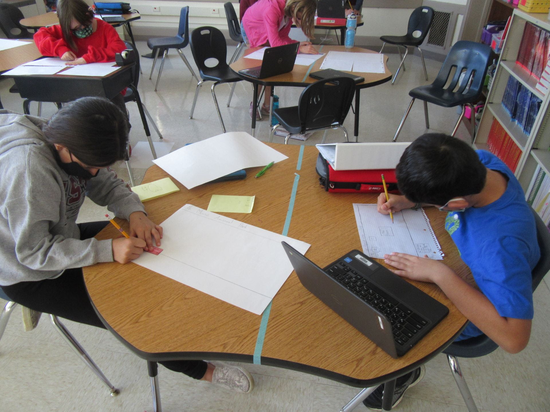
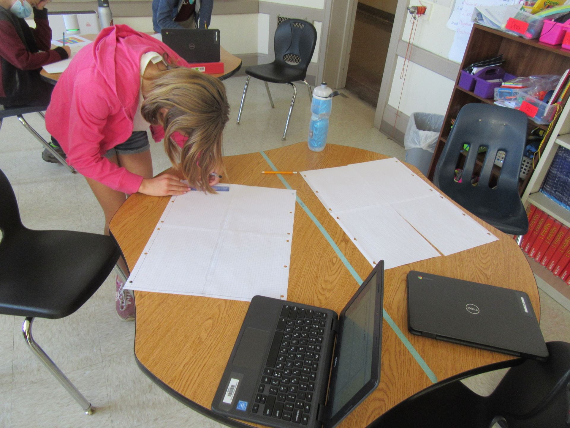
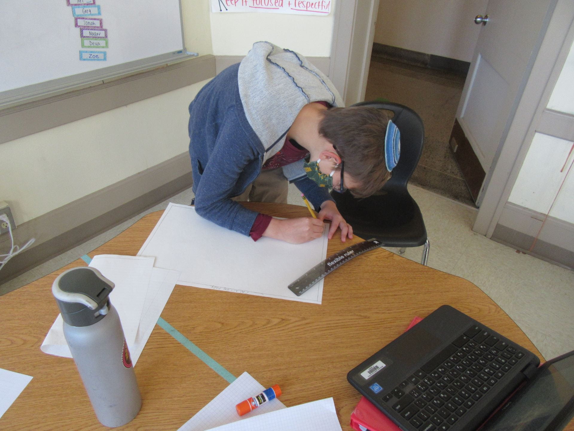
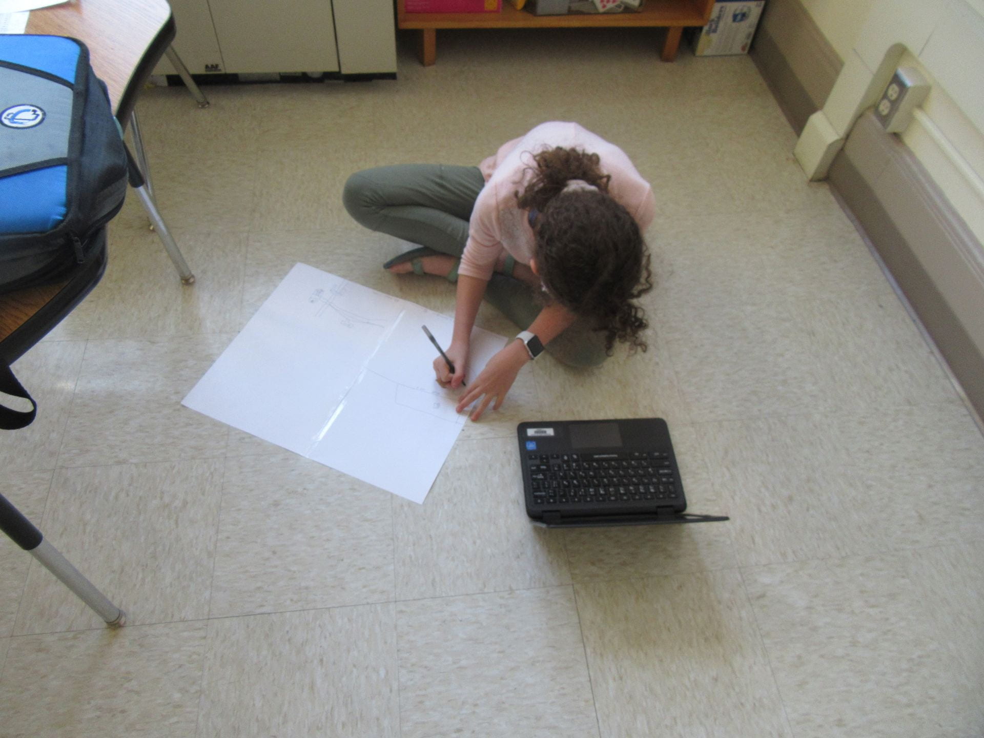
This week, we are continuing our quest for mapping dominance by learning how to read and effectively use a road map.  Yes, an average road map (for those times the phone just won’t work).  We are working our way from small to big; first by navigating a neighborhood map to eventually graduating to a tourist map.

When you go away for the slightly extended weekend and drive somewhere; humor me and ask your student to take out a map and help navigate a route tot where you need to go.  It will take a bit longer, but help reinforce and practice those skills at home.

6th – What are Climate Zones?

As we finish our look at climate maps, it is time to think about the much larger world.  Students focused on developing an understanding of the different climate zones around the world (with a connection then to population density and diversity).

As the beginning part of this assignment, students had to write down their definition of a Climate Zone.  From there, they had to walk around the room and get other opinions/definitions of a climate zone so as to compare and contrast.  Eventually, after compiling enough examples of what WE thought a climate zone was, we brainstormed an acceptable working definition of a climate zone.   We took the long road, but eventually our group sourced definition (emphasis on collaboration, communication, and critical thinking) of climate zones will help us as we continue to study populations (and eventually bring that focus to the upcoming election).

Self-Assessment of Maps using Standards and Rubrics

We just completed our first assessment of the year on Friday.  Students have been learning about major pieces of maps and how to understand maps.  We focused on the title, directions, the legend/key, and how to make sense of what the map is telling us.  After our assessment, students participated in a self-assessment; which is to say they reviewed their quiz, made corrections to which questions they struggled with, and got a better understanding of where their skills lie as it relates to our standards in class.  From there, the student and I can work to master the skills they are struggling in; allowing for more personalized instruction.

Feel free to take a look at the self-assessment rubric as it relates to our first mapping unit.


1st Unit: Basic Mapping

“An international Gallup survey commissioned by the National Geo graphic Society in 1988 found 24 million Americans were unable to identify the United States on a map of the world and 25 percent of those surveyed could not locate the Pacific Ocean.” (source).


It is very important our students learn basic literacy skills.  One of those skills we are starting the year off in 6th grade Social Studies is mapping.  We have spent the week looking at the basics of maps, focusing on identifying what the map is about (the title) to understanding what the information is telling us (analyzing) to simply being able to identify the Cardinal Directions.  This entire process has culminated in an informal assessment today in which students had to put their learning into practice.  Each student answered 10 questions about applying the information we studied to Wisconsin and Milwaukee maps (as we have been practicing).  As part of their assessment, each student will self-evaluate based on our “I Can” statements (which are based off of the C3 Social Studies standards); which allows for the student (and myself) to see areas of need and growth over the course of our school year.